Plotting QSOs, Active DX stations, and Spotting Stations on Google Earth
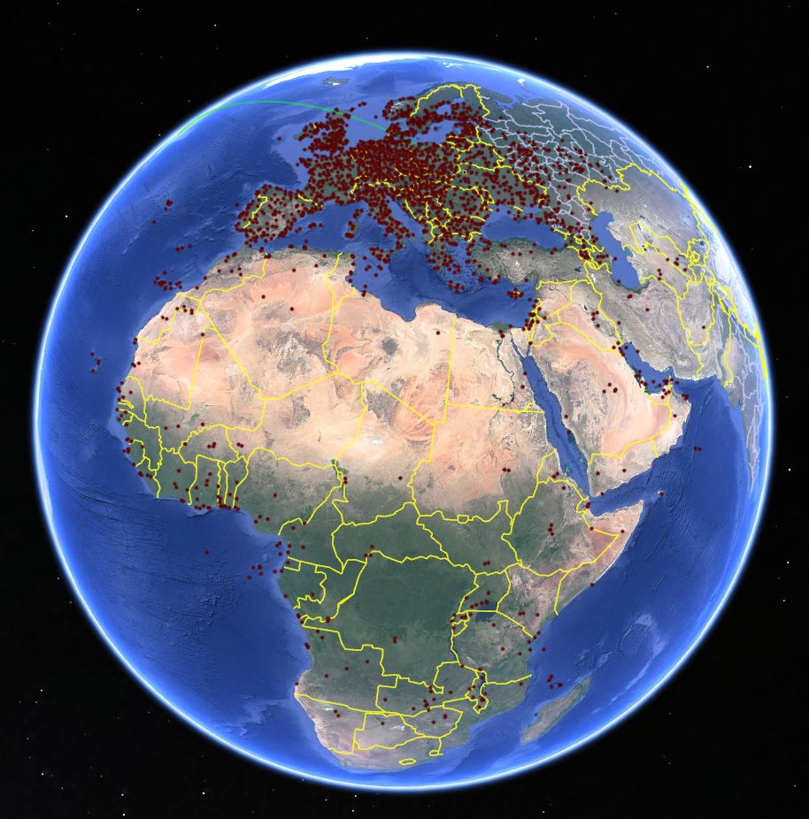
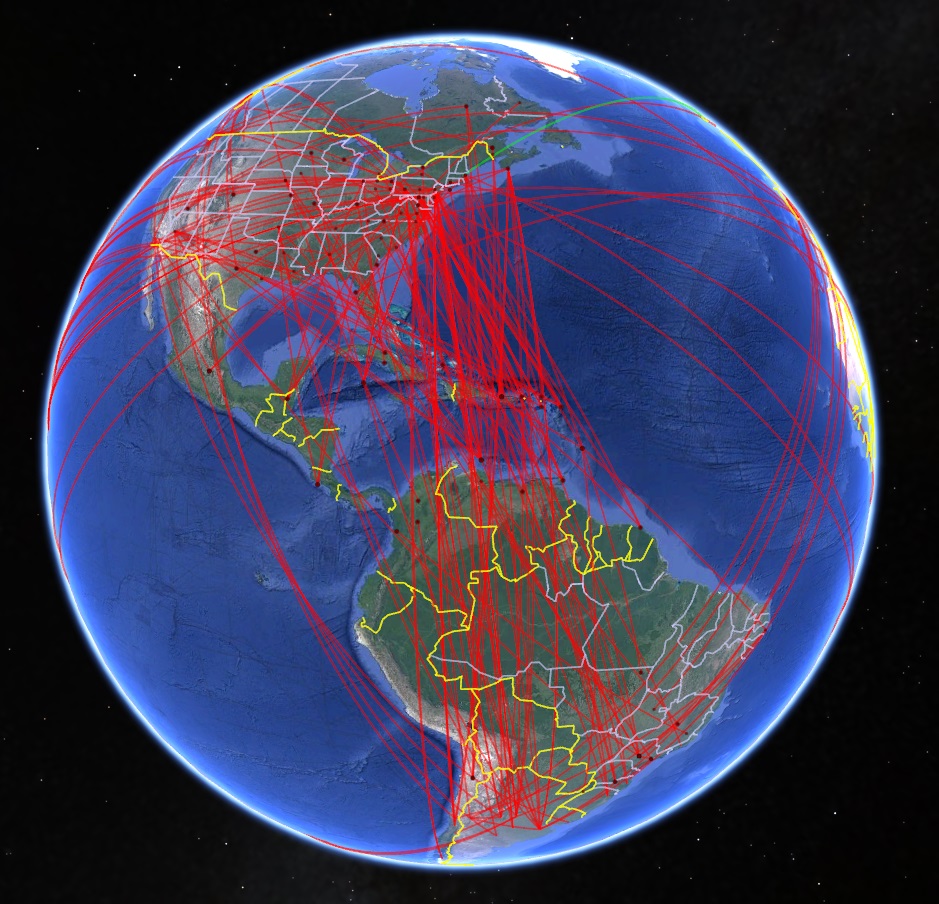
If Google Earth is installed on your PC, you can configure DXView to display the same information -- logged QSOs, DX stations, and spotting stations -- that its native world map or DX Atlas are configured to display.
if you haven't installed Google Earth, download it here
In the Google Earth panel at the bottom of the World Map tab of DXView's Configuration window,
check the Enable box
uncheck the Fly to Selected Location box
check the Display Active DX box
place your callsign in the QTH Label box
set the Altitude box to 500000
set the Icons panel to medium
set the Update panel to 5 seconds
Plotting Logged QSOs
To plot Logged QSOs in DXKeeper's Log Page Display,
Filter DXKeeper's Log Page Display to contain the QSOs to be plotted; to plot all QSOs in your log, click the Filter panel's X button at the bottom of the Log QSOs tab of DXKeeper's Main window.
just above the Log Page Display on the Log QSOs tab of DXKeeper's Main window, click the Plot button
On the Plot Settings tab of DXView's Configuration window, the Selection panel will have changed from Spots to Log; check or uncheck the Unworked, Unconfirmed, Confirmed, and Verified boxes in this Panel to filter the plotted QSOs as desired.

Plotting Active DX stations and Spotting Stations
To plot Active DX stations and Spotting Stations,
On the Plot Settings tab of DXView's Configuration window, click the Selection panel's Spots button.
- To plot spotting stations and the short path between spotting stations and DX stations,
on the Plot Settings tab of DXView's Configuration window, check the Selection panel's QSOs button.
on the General tab of SpotCollector's Configuration window, check the General panel's Lookup missing location info box

Options
To configure Google Earth to automatically position its viewpoint above the selected location at the specified altitude, check the Fly to Selected Location box; note that doing so will prevent you from manually moving Google Earth's viewpoint.
To make the icons representing logged QSOs and active DX stations large enough to be seen from a high altitude, set the Icons panel to large.
To make DX earth display newly-spotted DX stations more rapidly, at the expense of a higher CPU load and increased RAM consumption, set the Update panel to 1 second.
